Cardify - Mistake Scan
Scan mistakes into organized study records with AI-powered solutions and feedback.
Upload a Google Street View screenshot and use reverse street view search to find likely coordinates, map location, and visual clues.
Our AI translates visual clues directly into actionable GPS coordinates and map links.
Identify rural areas and blank roads without needing signs or text, perfect for OSINT and GeoGuessr.
Trained on millions of panoramas from every officially mapped country on Earth.
Tools and apps you might also like.
Scan mistakes into organized study records with AI-powered solutions and feedback.
Turn voice notes into tasks, reminders, and clean daily plans in seconds.
AI health companion for readiness, recovery, sleep, load, and life context.
Track expenses with voice input, receipt scan, and quick spending insights.
Have you ever taken a screenshot of an obscure road on Google Street View and lost the link? Or perhaps you're investigating an open-source intelligence (OSINT) case and need to verify the origin of a panorama. Our reverse street view search tool is designed specifically to solve this problem.
Unlike traditional reverse image search engines that just look for matching pixels on the web, our advanced reverse map search engine analyzes the DNA of the image. It looks at the camera generation, the sun angle, the soil color, and even the specific type of road markings to find the coordinates from an image.
When you upload a screenshot, you are asking the AI a very complex question: Where in the world was this specific Google car when it took this photo?
Our engine doesn't just guess; it uses a systematic breakdown to perform a highly accurate geoguessr image search.
The first thing our AI checks is the vehicle itself. Google uses different cars, cameras, and even different colored tape on their roof racks depending on the country. For example, a black sniper-tape on the roof rack instantly narrows the search down to Ghana. This is how we begin to find coordinates from an image.
Next, the engine acts as an expert botanist and geologist. It scans the panorama for:
By combining these thousands of micro-clues, the AI cross-references its massive geographic database to snap to the most likely stretch of road, giving you a precise location you can view on a map.
Sometimes traditional reverse image searches like TinEye return "0 matches," even when the photo contains clear geographic markers. Our Kenya demo on the homepage is a perfect example of this contrast:
Ground Truth extracted for this image:
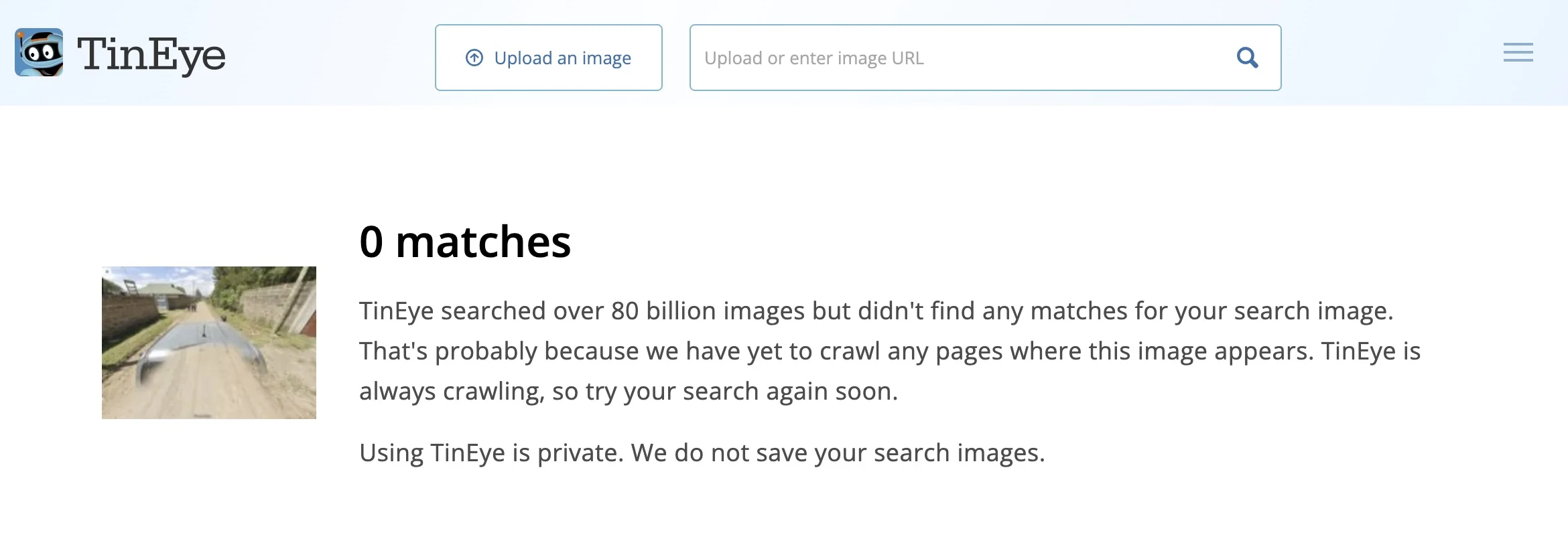
TinEye: 0 matches found for this obscure rural Kenya shot. Open Analysis
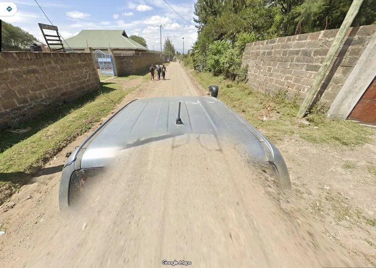
GeoSolver: Instant identification through logical deduction. View Full Report
GeoSolver's advantage is most visible when dealing with images that lack direct landmarks but contain heavy "Meta" clues like Street View car parts, vegetation, or architectural styles.
Picarta - Incorrect Match
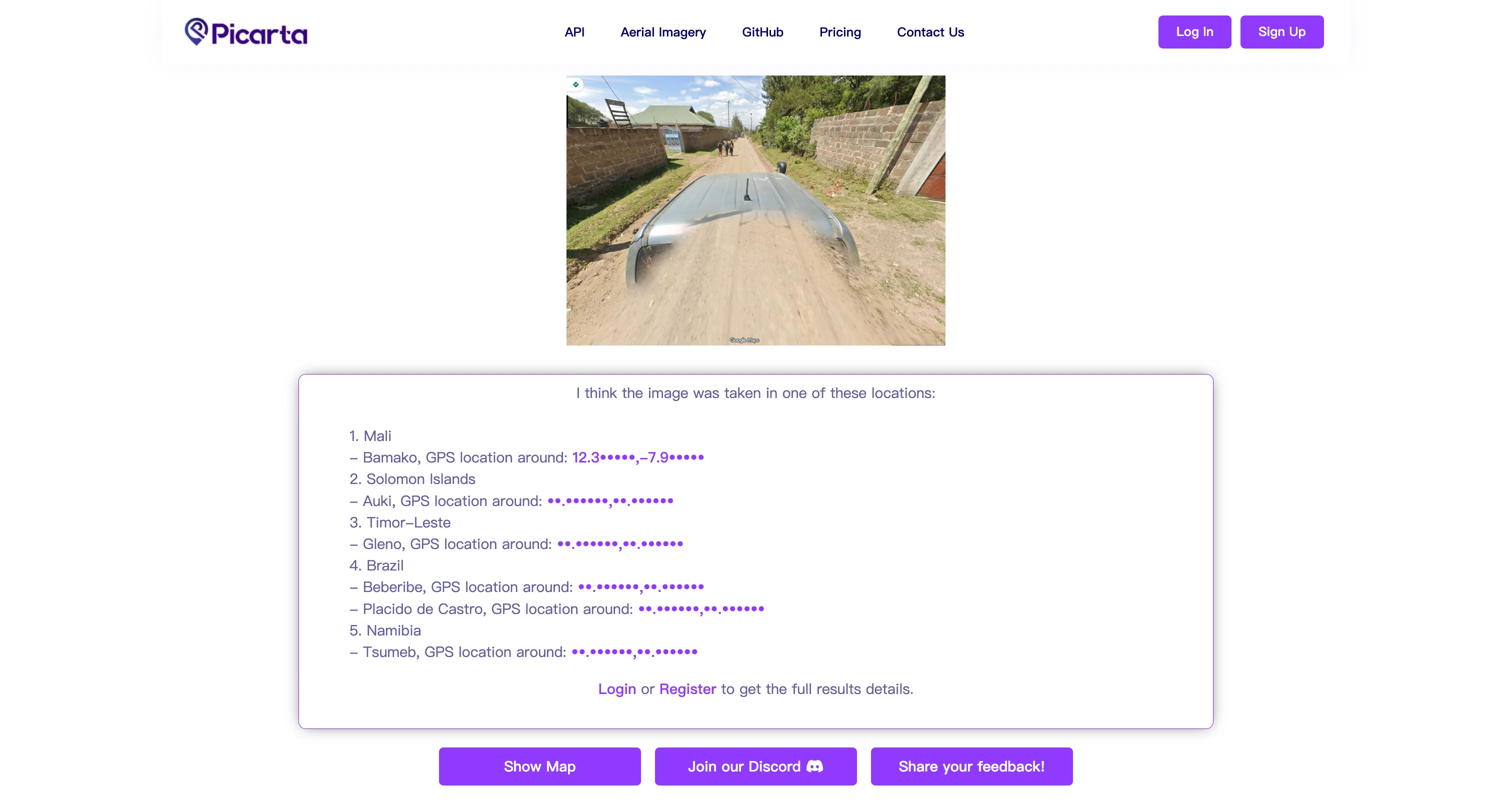
Predicted Results: Mali, Solomon Islands, Brazil, Namibia
Failure Analysis: Picarta attempts to match visual textures but ignores the single most important clue—the Kenya-specific "Snorkel" on the Street View car, leading to wild guesses across four continents.
GeoSolver - Accurate ID
Predicted Results: Kenya - Highland Region
Success Analysis: The AI correctly identifies the intake/snorkel on the front right and combines it with the red earth highlands to lock in the only possible geography. See Analysis →
For journalists and researchers, a reliable reverse street view search is invaluable. Verifying the location of a video or image often comes down to matching a background building or a street sign with Google Street View data. Our tool accelerates this process from hours of manual searching to seconds.
For players of geographic discovery games, using a geoguessr image search tool after a round is the best way to study. You can upload the location you missed, and our system will break down exactly why it was that country, acting as your personal AI coach.
(Note: We strictly encourage using this tool for post-game analysis and learning, not for cheating during live competitive multiplayer modes.)
Yes. While the tool is highly optimized for the specific visual language of Google Street View (camera glitches, car parts), the underlying geographic engine can analyze any landscape photo to determine its origin.
In regions with distinct "meta" (like specific utility poles or road lines), the accuracy is often within a few kilometers. In highly uniform environments (like a featureless midwestern US highway), the tool will accurately identify the region and state.
Absolutely. Our tool operates entirely via visual image analysis. It does not scrape the game's API or inject code into your browser, meaning it is completely safe and undetectable.
Stop scrolling aimlessly on Google Maps. Let our AI do the heavy lifting.
Instant Reverse Street View Search
Upload your screenshot and get GPS coordinates in seconds.
Find Coordinates Now
Our AI analyzes visual clues to estimate where the image was taken
Drag, paste, or click to upload your image